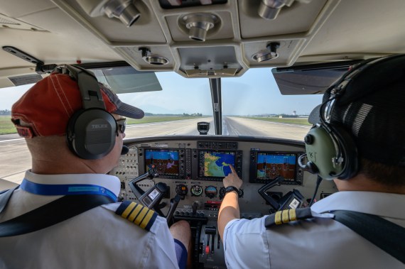
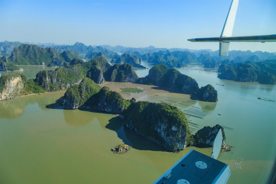
The advancement of science and technology has led to the invention of optimal measurement methods. This not only reduces the manpower needed but also saves on costs and increases efficiency. With the introduction and development of survey flight capabilities, Hai Au Aviation believes that our aerial photography technology has taken and continues to take geodetic surveying to new levels, applicable for many different purposes.
Cadastral topographical surveying

Topographic maps
Images of topographical elements and features obtained by aerial surveying including signs, traffic lights, sidewalks, sewers, etc. can be used for statistical purposes as well as editing into topographical maps. After being processed by specialized software, images taken of the same coordinates but from different angles can be used to build elevation models, contour lines, land and building models, and more for the purpose of topographic research.

Cadastral maps
High-resolution images obtained from recording equipment installed on our seaplanes can be used to design everything from visual models to detailed 3D maps. This is particularly useful when undertaking aerial photography in areas where data is out of date, of poor quality, or not suitable for new mapping and classification projects. Our topographic survey service allows for the quick and easy creation of highly accurate cadastral maps, even in areas featuring terrain that is difficult to reach.
Surveying land and water resources
Using manual, low-tech solutions on large-scale projects such as mining, analyzing data from natural disasters including floods, landslides, etc., is costly in time, money, and labor. Hai Au Aviation’s manned survey flights using aircraft fitted with modern technology allows for the surveying of previously inaccessible areas. Customers receive high-resolution images and videos, especially in situations considered extremely dangerous for field personnel such as monitoring water sources during flood season or at the site of erosions or landslides.

Detailed measurements
Measuring and surveying excavation and backfill volumes
Together with 3D mapping software, the many data points captured by seaplane surveying allow for volume calculations with almost absolute accuracy for earth works, thereby saving time, money, and manpower.
Surveying for residential and urban planning
With the constant growth of urban areas and increasing population density, the need for planning to ensure successful land strategies is essential. Detailed planning using traditional survey methods instead of modern technology is both time-consuming and costly. With the ability to collect and update large amounts of data in a short period of time, our aerial photography service is an effective aid in designing maps for urban and residential planning.
For detailed consultation, please contact our hotline: 0962 069 68 or email: rsvn.hn@haiauaviation.com


